When the whole concept of drone imagery began to popularize, I immediately set my sights on getting my UAS Pilots License. I don’t know, I just felt like it would take my career to new height. (Sorry y’all I couldn’t resist at least one drone joke!) Having this license allows me to operate my drone for commercial use. Because drone images are so common, when I passed my certifications I was stunned to find out that I was one of only a handful of individuals in the state who held this license. I was also the only woman on the list!
I knew that operating the drone would be a huge asset to the real estate sector of my business, but since I began using it with more regularity I’ve realized that they sky is the limit! (Ok…two drone jokes. That’s the last one…I promise!)
Here are a few of the times when I always turn to my drone.
1. Land Listing
Even the most exquisite pieces of property can fall flat in forward facing traditional photos. It can be extremely challenging to capture everything the property has to offer from a limited set of angles. This is where sweeping overhead images are perfect!
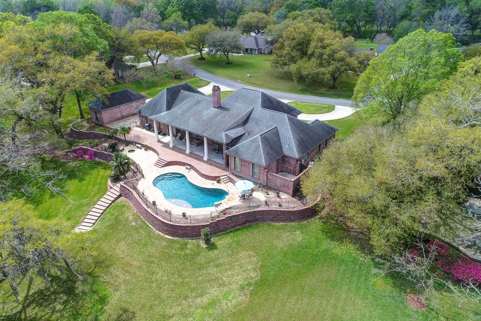
2. Nontraditional Shaped Property
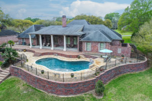
Not all properties are created equal, and the world wasn’t cut out in perfect squares! Describing a nontraditional shaped property on paper can often be off putting to potential buyers, but a drone image will illustrate how unique it truly is.
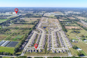
3. Commercial Development
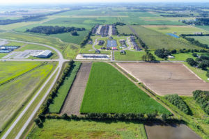
When it comes to showing plans for commercial development, it can be tricky to convey that sense of excitement and growth in a series of images. Using drone photos to show a community what they can expect to see is one of my favorite uses of my UAS Pilots License.
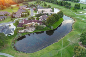
4. Connecting the Dots
Sure, you can tell an interested buyer how close their new home would be to the neighborhood pond or how far away they are from noisy intersections. Or…you could show them. Marking up distances and relations on an overhead image is so much more effective!